Blue Sky Aerial Photography now offers Precision Drone Mapping & Surveying
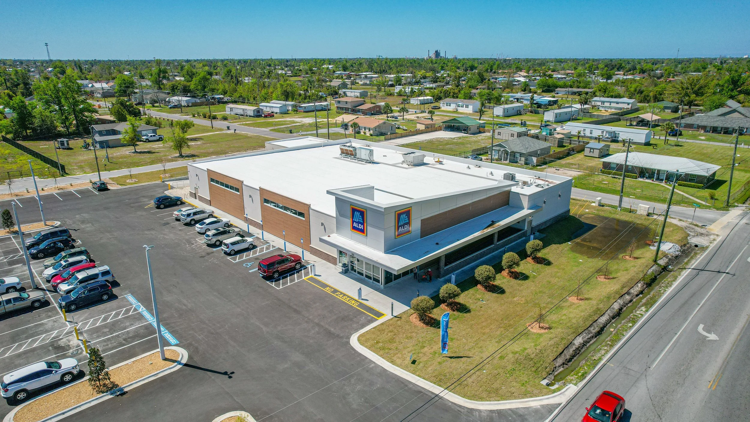
At Blue Sky Aerial Photography, we've built our reputation on delivering exceptional aerial imagery across the Florida Panhandle and beyond. Now we're expanding that same commitment to precision and professionalism into the high-demand world of drone mapping, surveying, and geospatial data collection.
At Blue Sky Aerial Photography, we take pride in our expertise and commitment to delivering high-quality results. Each pilot on our team holds a Part 107 certification and has over five years of field experience.
Service area: Northwest (Panhandle) Florida including Bay, Walton, Escambia, Santa Rosa, Okaloosa, Washington, Calhoun, and Jackson counties.